
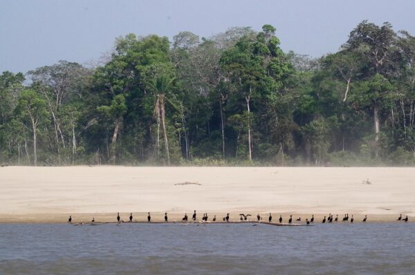
500,000 ha
of riverine forest, wetland and community land in Bolivia's Beni department.
Seasonal
floods that rebuild soils and feed fish each year.
Corridor
connecting Amazon forests across the Mamoré basin.
Core
landscape where cattle, forest and fisheries must share water.
What lives here
- Freshwater fish migrations timed to the flood pulse
- Giant otters and river wildlife in oxbow lakes
- Gallery forests sheltering monkeys and birds
- Wetland birds gathering on seasonal lagoons
What threatens it
- Cattle ranching converting forest to pasture
- Uncontrolled fires in dry-season grasslands
- River pollution from upstream extractive activity
- Land speculation on floodplain edges




“When the river rises, life returns. Our work is to make sure the forest is still there when it does.”
— Mamoré basin partners
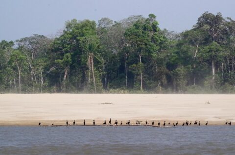
Oeste del Río Mamoré is a living floodplain — forest, wetland and community land shaped by the Amazon’s seasonal waters.
Protection here focuses on fire control, responsible ranching and community rights so the flood pulse can keep feeding fish, forests and people.
Consortium partner
Floodplain life on the Mamoré
Local partners along the western Mamoré defend gallery forests, manage fire risk and support fisheries tied to a healthy flood pulse.
Show Oeste del Río Mamoré some love
Every heart supports communities keeping Bolivia's Mamoré floodplains wild and workable.