

3,840 km²
of park and buffer landscape along the Victoria Nile — Uganda's flagship wilderness.
450+
bird species drawn to river, delta and open grassland.
1
of East Africa's great Nile crossings for wildlife and people.
Core
landscape linking falls, delta wetlands and community grazing lands.
What lives here
- Giraffes, elephants and Uganda kob on the northern banks
- Hippos and crocodiles packing the Victoria Nile
- Shoebills and other wetland specialists in the delta
- Riverine woodland that shelters primates and birds
What threatens it
- Oil exploration and infrastructure near sensitive wildlife areas
- Poaching along remote park boundaries
- Unplanned settlement pressing into buffer zones
- Overfishing and riverbank degradation on the Nile




“The Nile does not belong to one park gate. It belongs to every community that drinks from it.”
— Uganda landscape partners
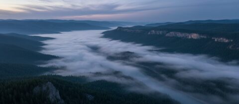
Murchison Falls National Park concentrates East African wildlife along a dramatic stretch of the Nile — from thundering falls to quiet delta wetlands.
Securing this landscape means balancing tourism, energy plans and community rights so the river remains wild and productive.
Consortium partner
Protecting the Nile corridor
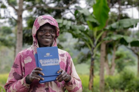
Partners around Murchison Falls strengthen community conservation, wildlife monitoring and fair benefit-sharing from nature-based tourism.
Show Murchison Falls some love
Every heart shows that Uganda's Nile wilderness still has people rooting for its wildlife and wetlands.